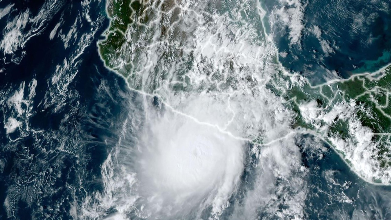
A storm has developed into an “extremely dangerous” hurricane off the west coast of Mexico. This is reported by the American hurricane center NHC. Category 5 Hurricane Otis, the highest category, is located 90 kilometers southeast of Acapulco.
Mexico, Oct 25 (Telegraph News) – Otis is a Category 5 hurricane and will maintain this strength until it makes landfall,” the NHC said. That warns that Otis will likely cause “catastrophic damage.” The hurricane is expected to reach the coast early Wednesday morning (local time). Wind speeds of up to 205 kilometers per hour are expected.
The authorities of the state of Guerrero called on the population to take precautions before the arrival of the hurricane. Heavy and persistent rainfall often causes landslides and flooding in southern Mexico.
Hurricane Otis: Mexico 🇲🇽Braces as “Catastrophic Storm” Moves Ashore in Acapulco
— Telegraph News (@telegraphnewseu) October 25, 2023
Otis made landfall near Acapulco, Mexico, early Wednesday as a Cat 5 storm with maximum sustained winds of 165mph, the National Hurricane Center (NHC) said.https://t.co/o33dGzfGca pic.twitter.com/BzqGOphMBV
Tropical cyclones form over warm ocean water. According to studies, increasing global warming increases the chance of strong storms. A hurricane is defined when a wind speed of 119 kilometers per hour is reached. The hurricane season starts in the Pacific Ocean on May 15 and in the Atlantic Ocean on June 1. It ends in both regions on November 30.


